


13,9 km | 18,4 km-effort

Benutzer


Kostenlosegpshiking-Anwendung
 SityTrail
IGN / Geografische Institute
SityTrail World
Die Welt öffnet sich für Sie
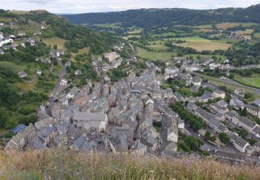
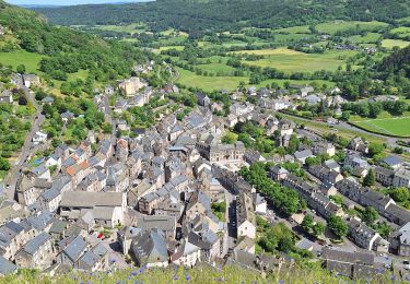
Tour Wandern von 15,7 km verfügbar auf Auvergne-Rhone-Alpen, Cantal, Neussargues en Pinatelle. Diese Tour wird von neleda vorgeschlagen.
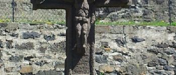
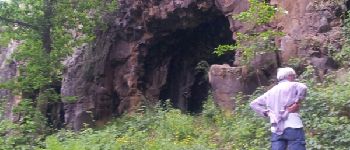
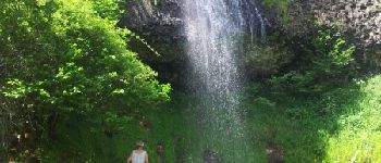
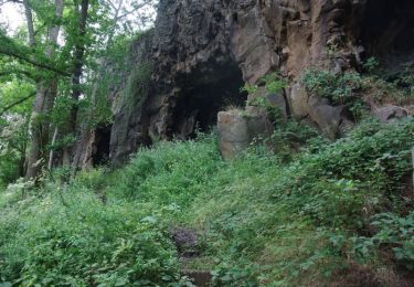
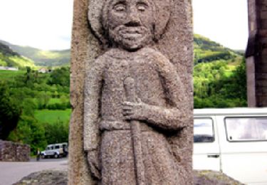
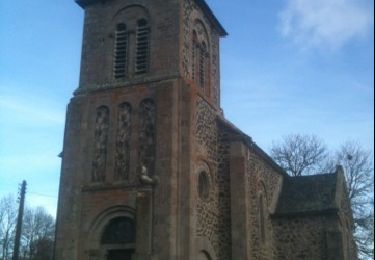
De magnifiques centres d'intérêt : Croix, abreuvoirs, Eglise (mais il faudra revenir samedi pour voir le sarcophage mérovingien, car elle était fermée) château, cascade et grottes préhistoriques . . .
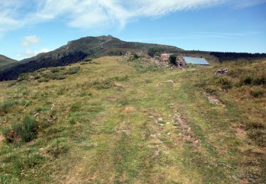
Mais à faire quand il ne fait pas trop chaud, car beaucoup de chemin caillouteux sous le cagnard, c'est un peu pénible.


Wandern

Reiten
Wandern
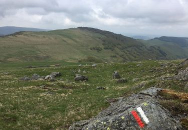
Wandern
Wandern
Wandern
Wandern
Wandern
Wandern